


GROUNDWATER MAPPING
Geo9‘s groundwater exploration service is highly affordable compared to drilling non-productive holes, and we believe more reliable than traditional manual divining.
Together, the 4T- Geo9 team take the guesswork out of drilling and groundwater management – with expert geological advice, scientifically proven methods and 3D aquifer mapping.
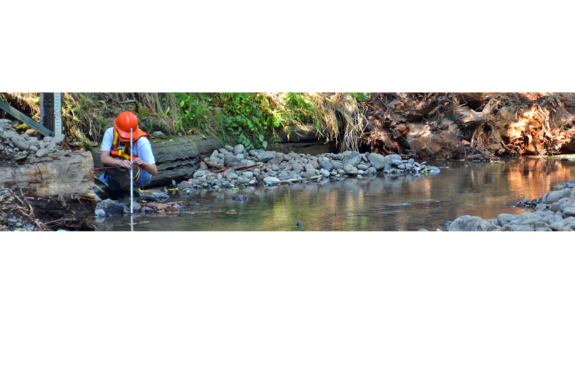
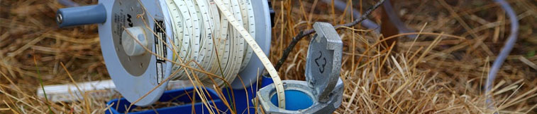
Changes in groundwater reserves can be monitored over time using our techniques. The surveys can also be put to use to identify and monitor dam and water storage leakages.

The welcome sight of water gushing from a drill hole in Central Queensland following a 4T-Geo9 survey



4t RECOGNITION
2026 Gold Winner | International Business Award
2026 CyberCert | Certified Silver Level
2025 Winner | ABA100 Business Sustainability
2024 Winner | ABA100 Business Sustainability
2024 Finalist | Australian Small Business Champion
2024–2025 Great Place to Work Certified

4T RESOURCES
CAPABILITY
MONITORING
4T SERVICES
4T CAREERS

4T.COM.AU
REACH OUT