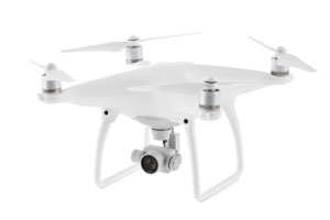
+61 [07] 4982 4100

DRONE IMAGES

With a CASA Licence, we are able to fly to within 500m from the ground, enabling brilliant aerial photographs and video footage to be taken.

Examples of how you could use our drone services include:

  • Property (Rural, Residential, Commercial)
  • Mapping and Surveying
  • Historic record of property / water path
  • Wildlife monitoring
  • Agriculture monitoring including Spray Drift

For marketing services that include creation of professionally presented videos, please contact us to discuss your requirements.

4T.COM.AU

Multi-Award Winning Consultants

4T CONSULTANTS

4t RECOGNITION

100 FACES SMALL BUSINESS  >

100 FACES – 4T VIDEO >

100 FACES BQ MAGAZINE  >

CAPABILITY

CAPABILITY STATEMENT 2022  >


4T RESOURCES

4t CONSULTANTS  >

About  >

Services >

Publications  >

Training Courses  >

Gallery >

CONTACT 4t  >


MONITORING

Air Quality>

Aquatic Ecology  >

Groundwater Mapping >

Groundwater Monitoring >

Hydrography  >

Noise Monitoring  >

REMP  >

Soil Survey & Assessment >

Surface Water >

Waste Management >


4T SERVICES

Data Management >

Drone Imagery >

Environmental Management >

Environmental Legislation >

Monitoring Equipment >

GET IN TOUCH

T  +61 (07) 4982 4100

E  admin @ 4t.com.au

A PO Box 1946, Emerald QLD 4720